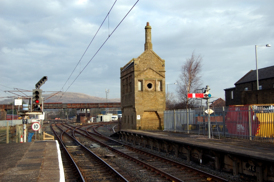
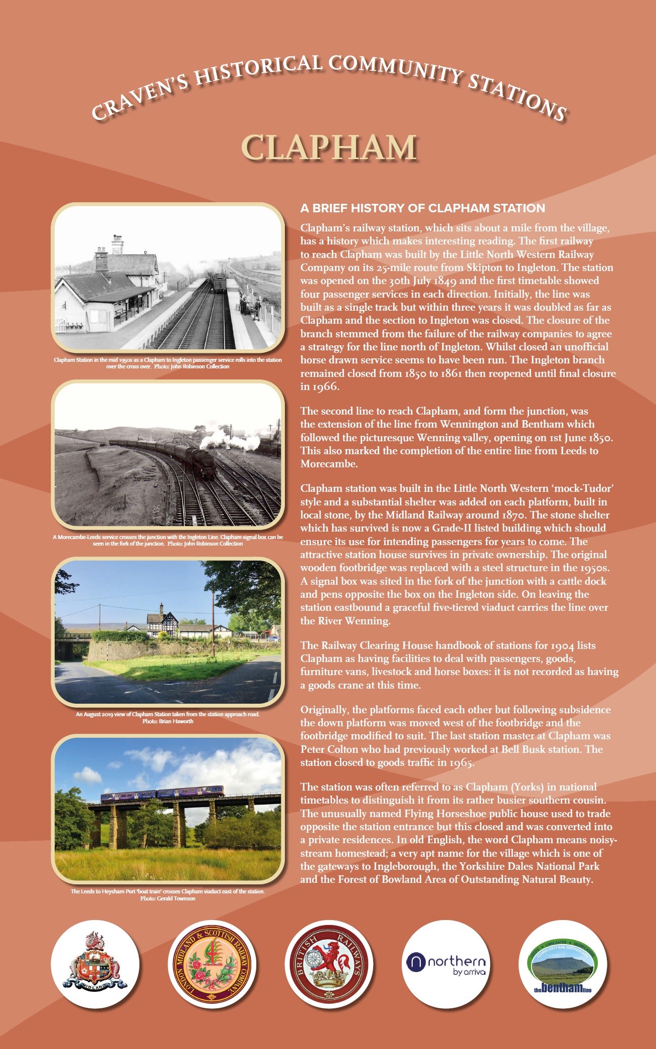
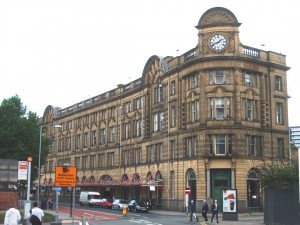
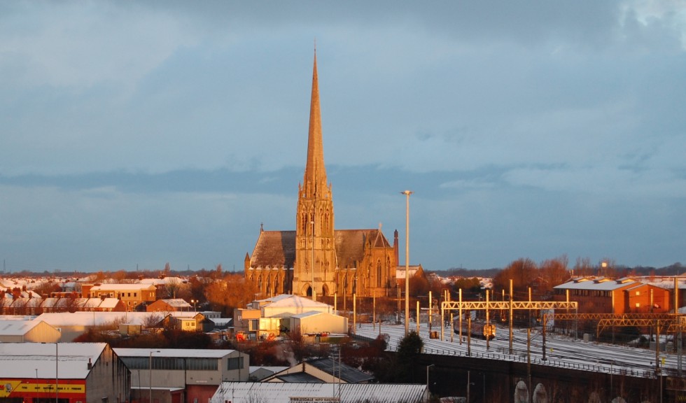
Accrington Station is situated close to the town centre which sits in a valley surrounded by the hills and moorlands of Lancashire. The most prominent landmarks in the town are the town hall and the large twenty two arched curved viaduct which carries the railway high above the town. Built in 1867 to replace an earlier structure the stone structure cost £11,215 to construct. Accrington was once a junction station with a direct line to Manchester via Clifton Junction (now closed) joining the East Lancashire Line at the station.
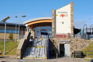
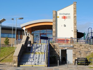
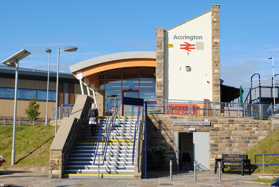
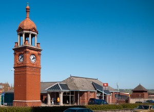
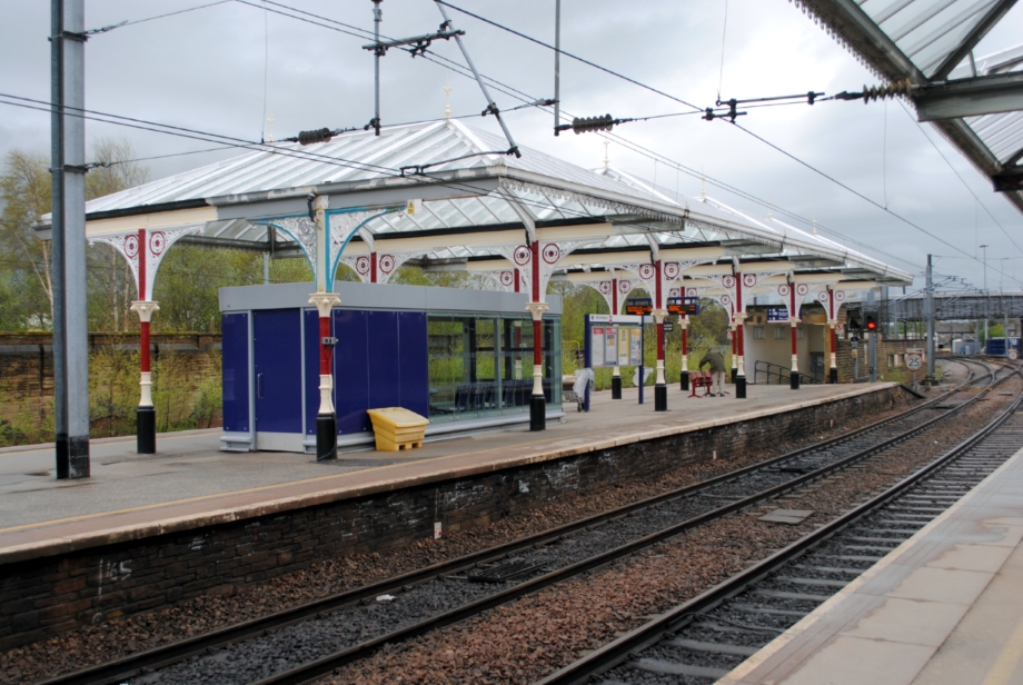
Accrington Eco station – photo © Simon Clarke
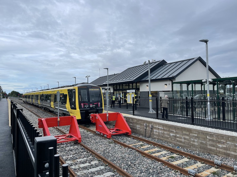
A brand new Eco station has been built at Accrington on the site of the old Eagle Street car park. The station has been built using green technologies such as grey water collection, solar power & photovoltaic cells. The building itself has been constructed using recycled stone, reclaimed aggregates, crushed glass, recycled plastics and other sustainable materials.
A full Eco Station Design Report is available to download by clicking here.
Eden Business Analysis, a research company based in York, carried out a project to see how effective the Eco Station is in comparison to the old station. Read the full report by clicking here.
Accrington town centre has in recent times been redeveloped with the creation of new shopping precincts. Accrington once boasted many mills and was also an engineering centre with Platts and Prestige amongst others establishing large factories. The famous Accrington Pals Regiment was formed mainly with inhabitants from the town.
The largest collection of Tiffany glass in Europe is housed at the Haworth Art Gallery on the outskirts of the town. More details about the Haworth Art Gallery can be found on their Facebook page on this link: Facebook or on this link hyndburnbc.gov.uk/haworthaccrington/. Entrance to the gallery is free and the opening hours are: Wednesday – Sunday, 12:00 – 16:30pm (last entry and shop closes at 16:00). The Gallery Kitchen has the same hours.
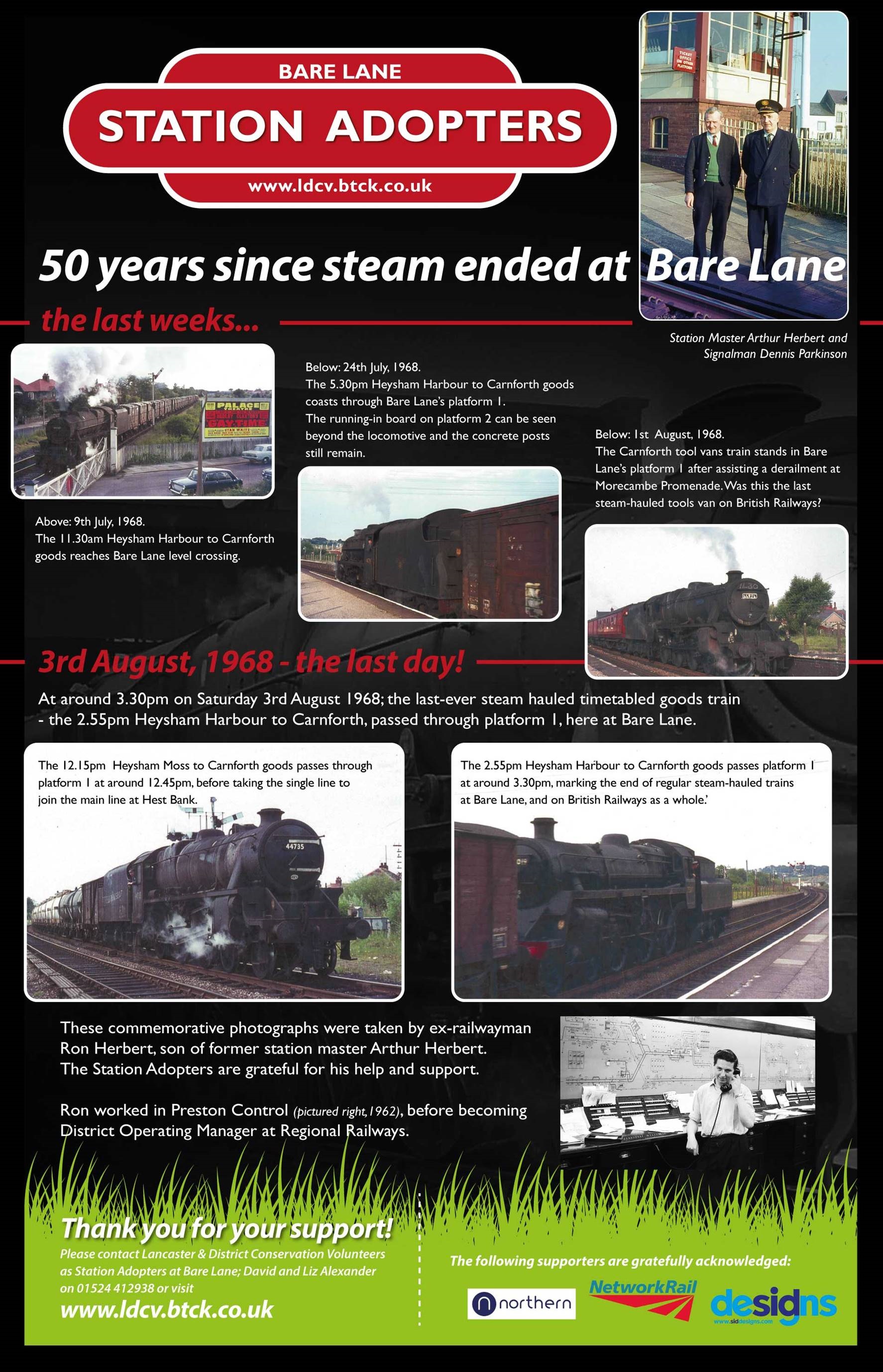
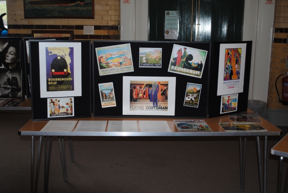
History Posters
A history poster has been prepared for Accrington station and this can be viewed by clicking on the thumbnail below or on this link: History Posters

A virtual history poster is also available and the short video can be viewed on this link: Virtual History
Address
Accrington Station
Eagle Street
Accrington
Lancashire
BB5 1LN
Grid Reference
SD 757285 – for a map visit www.streetmap.co.uk and enter the grid reference.
Operator
Facilities
+ Staffed station (Booking office open Mon – Sat 06.40 – 14.50, Sun 09.10 – 16.50)
+ Ticket Vending Machines – both platforms
+ Hourly service to Preston, Colne, Manchester (via Todmorden), York and Blackpool North
+ Free car park (10 spaces on Paxton Street side & 40 on Eagle Street side, including accessible spaces)
+ Waiting shelters
+ Additional seating on platforms
+ CCTV covering car park and booking hall
+ Long Line Public Address
+ Covered cycle storage and additional hoops
+ Friends of Station – visit communityraillancashire.co.uk/station-adoption/ for more details
+ CRP branded notice boards
Other Information
+ Bus stops on Blackburn Road (services 1, 1A, 1B, 6, 7, 46, 61 & X41) and Eagle Street (services 11 & 241) (both 2 minutes walk from the station) – click here for bus timetables
+ The main bus station is approx 5 minutes walk from the station
+ Accrington Victoria Community Hospital (in-patients and minor injuries unit) approx 1.5 miles from station
+ The Haworth Art Gallery is about 3 miles from the station, click here for more information
+ Accrington’s traditional Lancashire market is held on Tuesdays, Fridays & Saturdays and the Market Hall is about 10 minutes walk from the station.
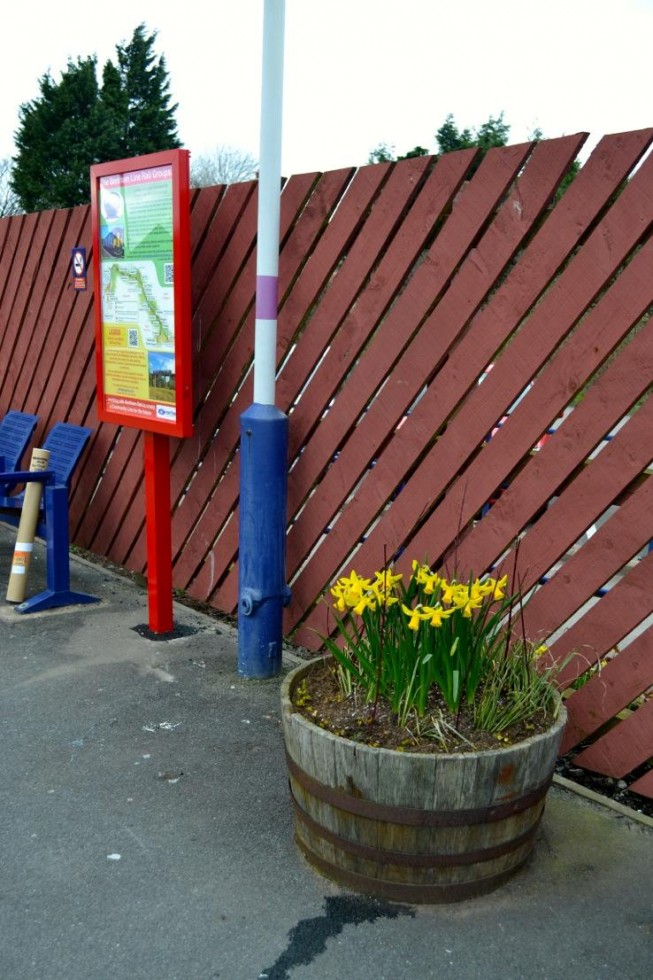
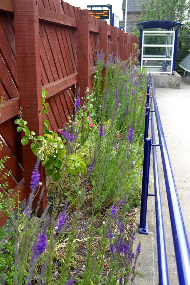
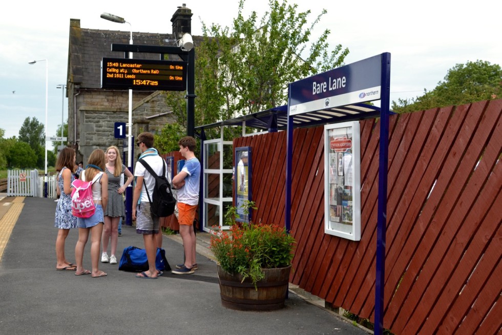
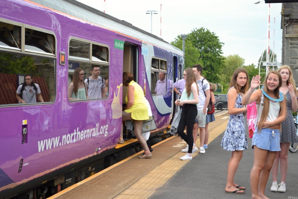
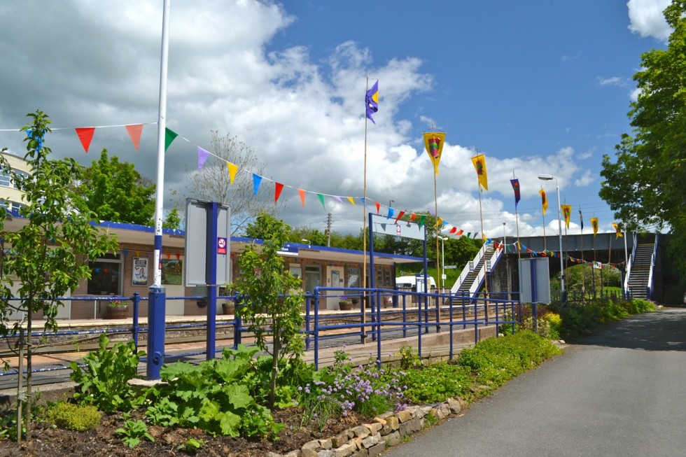
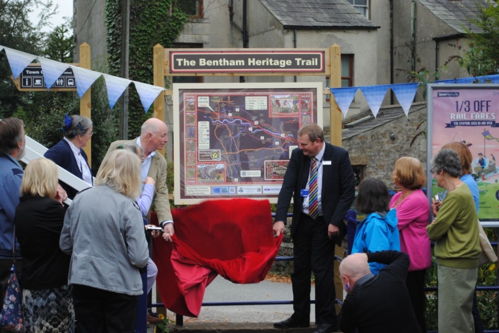
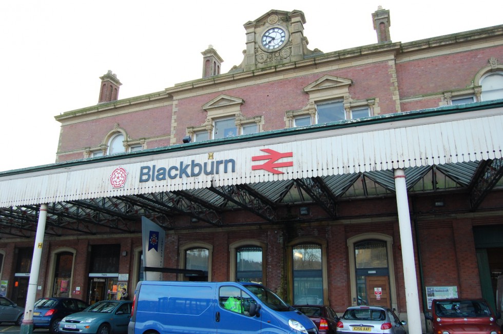
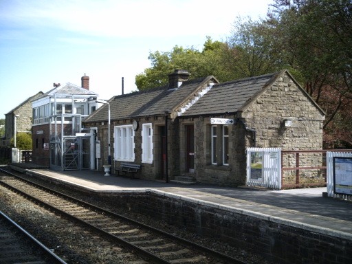
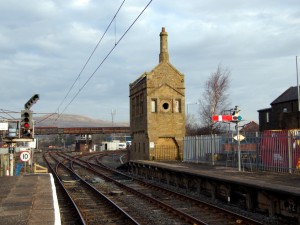
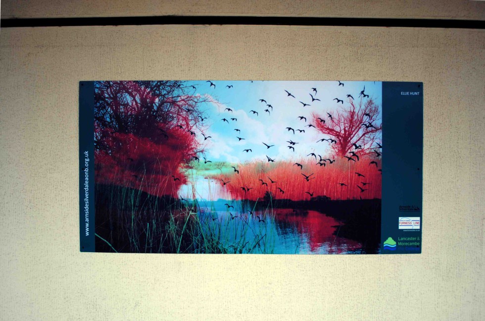
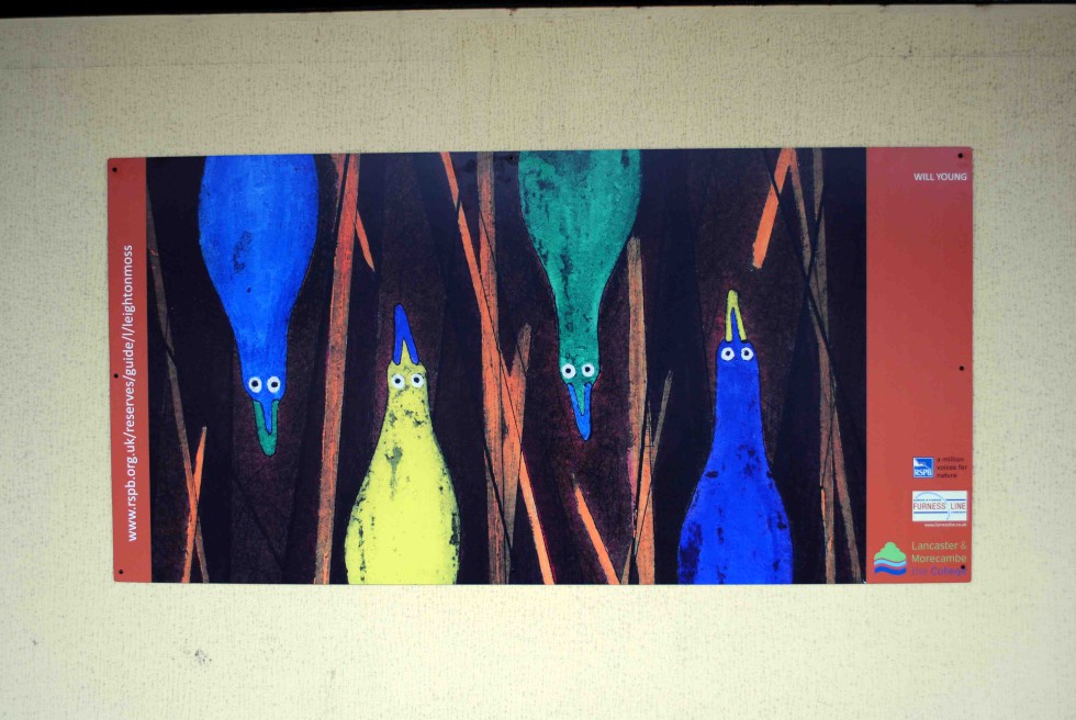
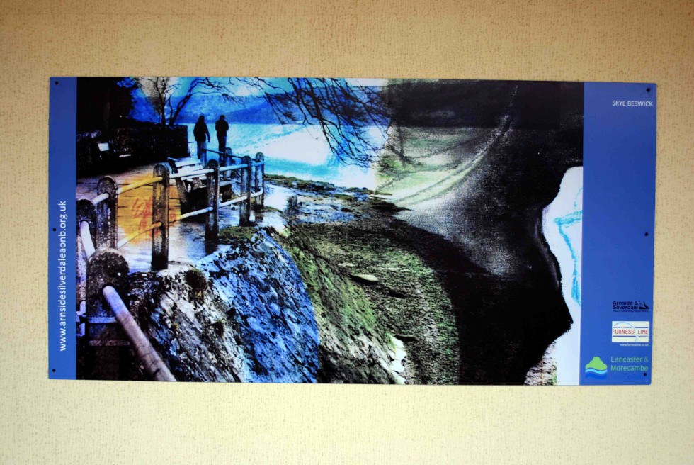
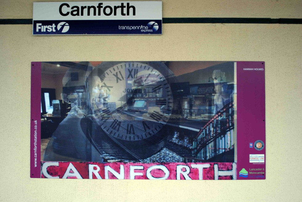
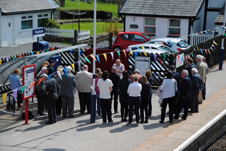
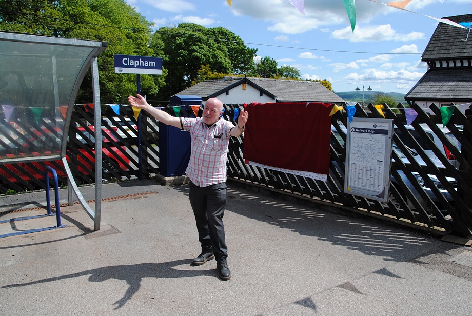
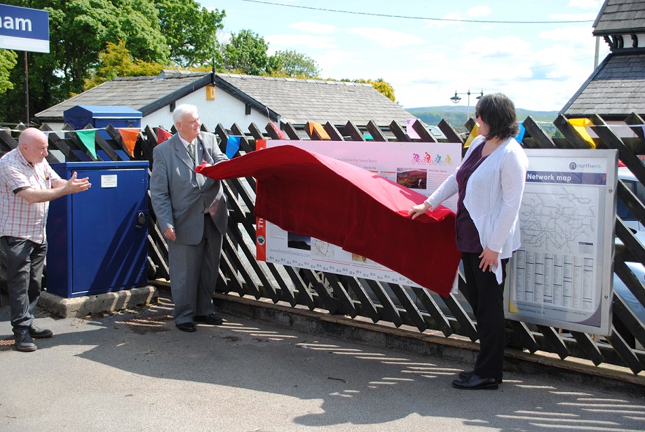
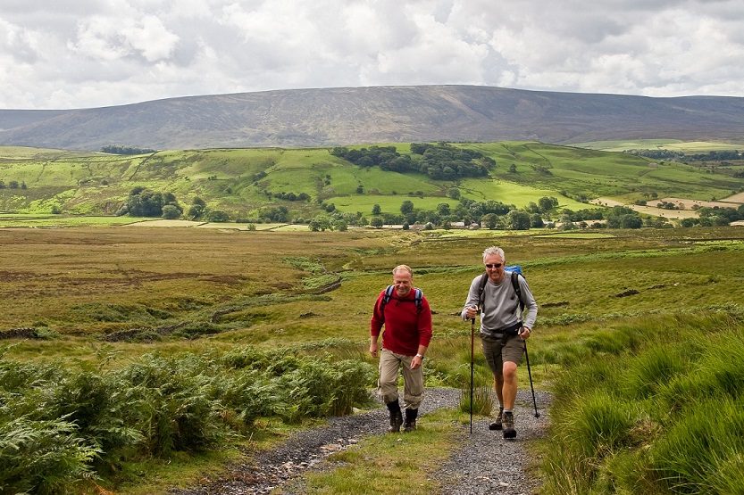
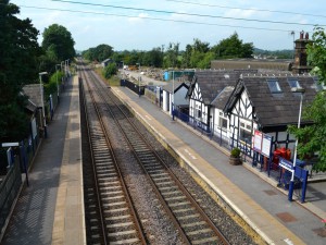
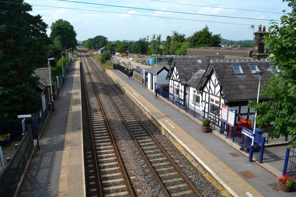
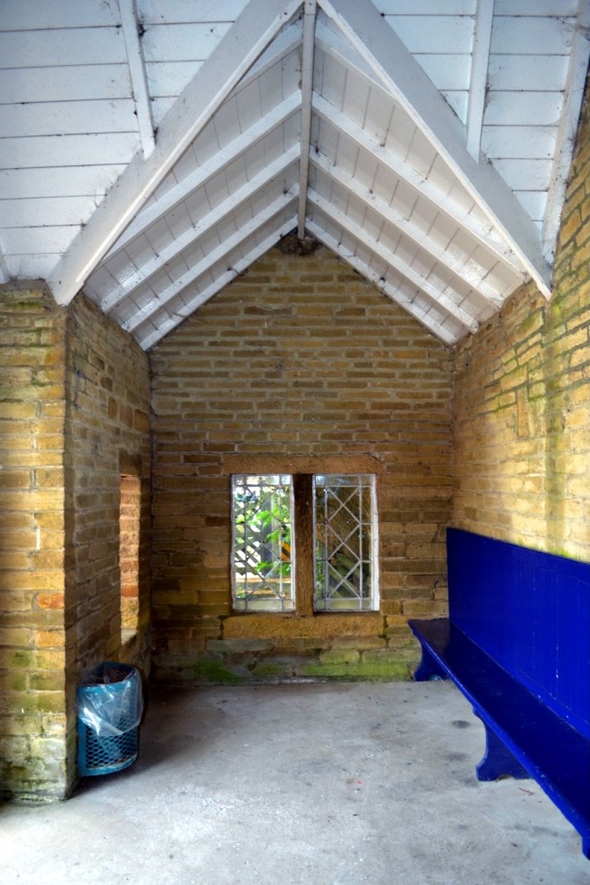
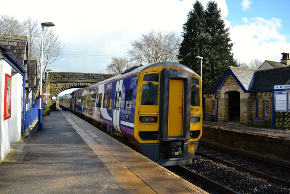
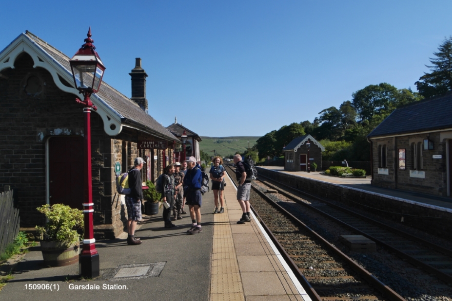
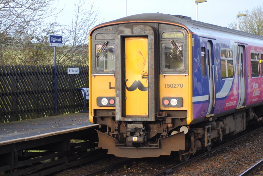
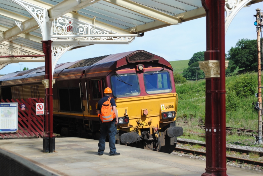
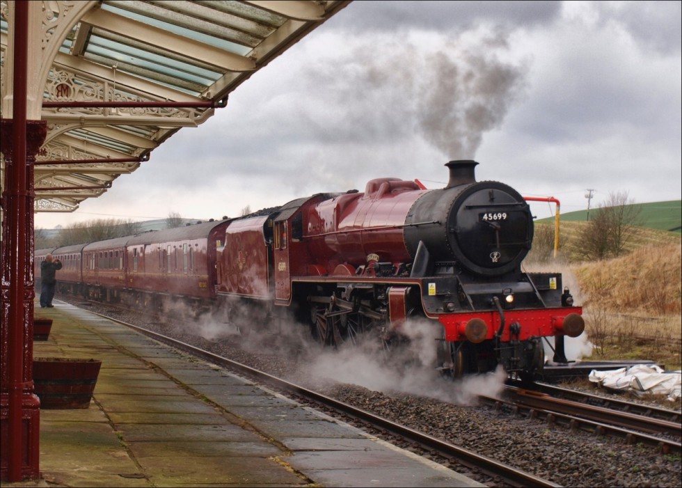
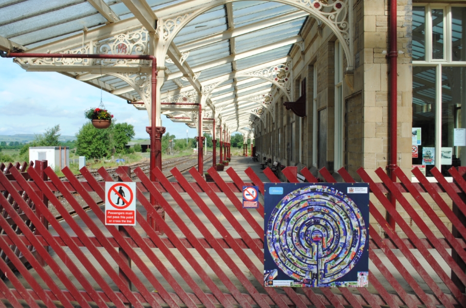
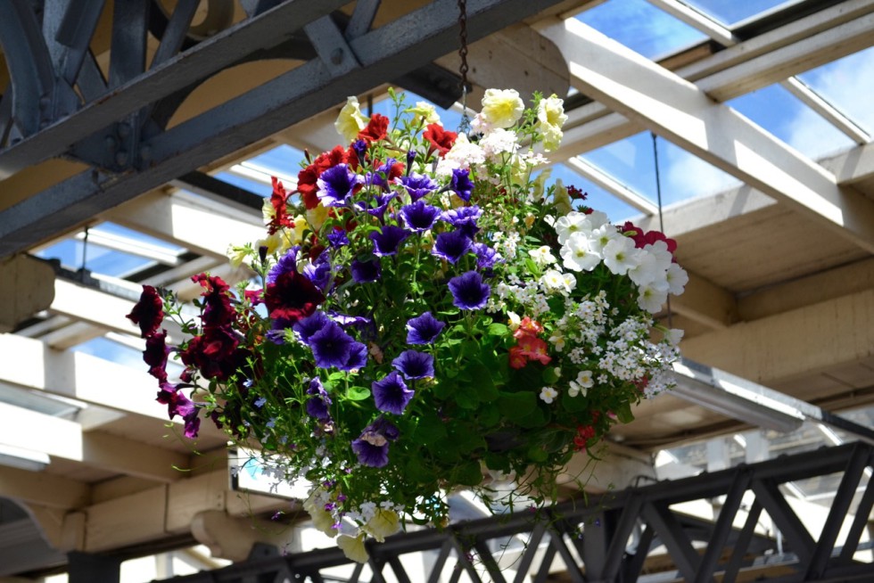
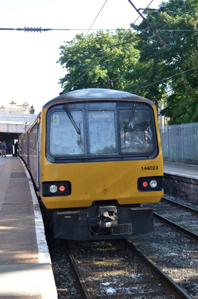
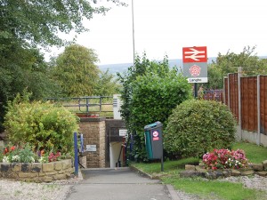
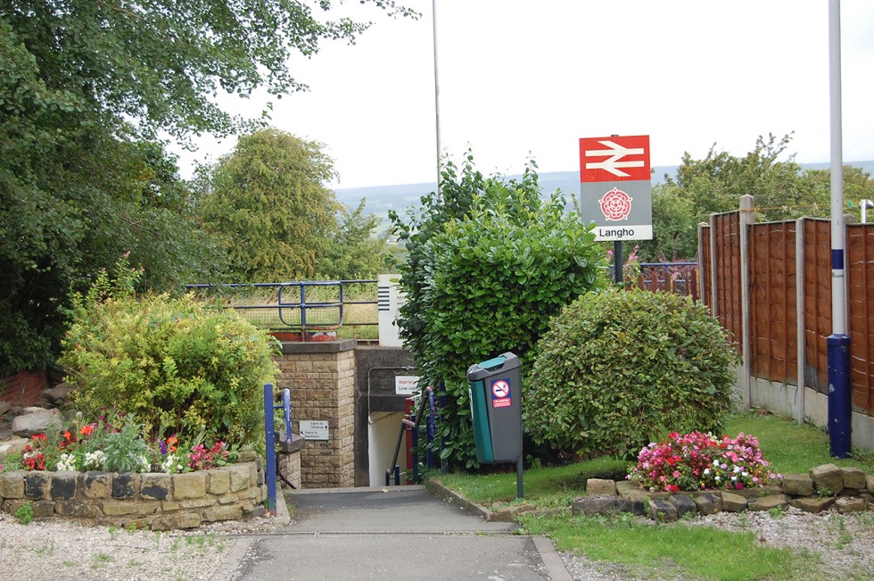
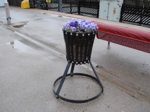
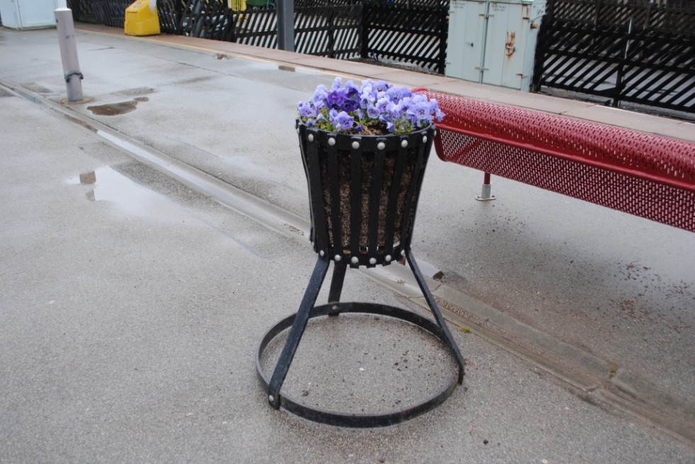
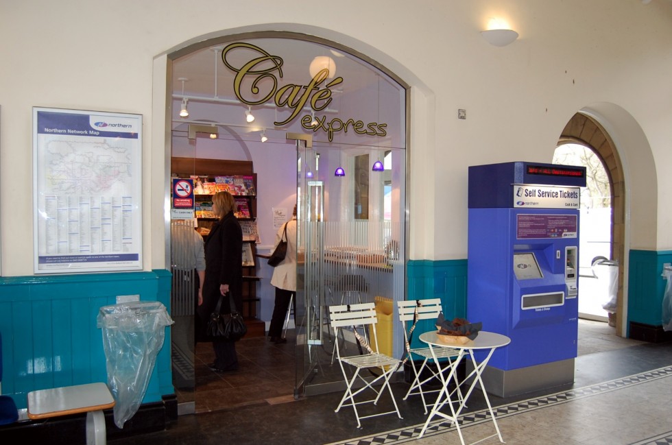
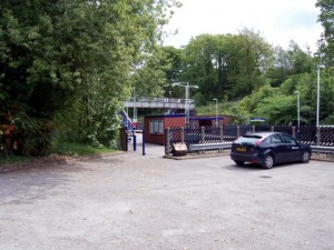
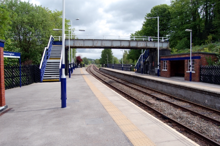
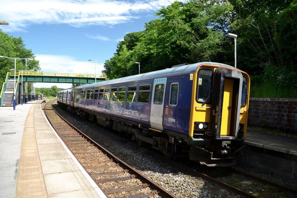
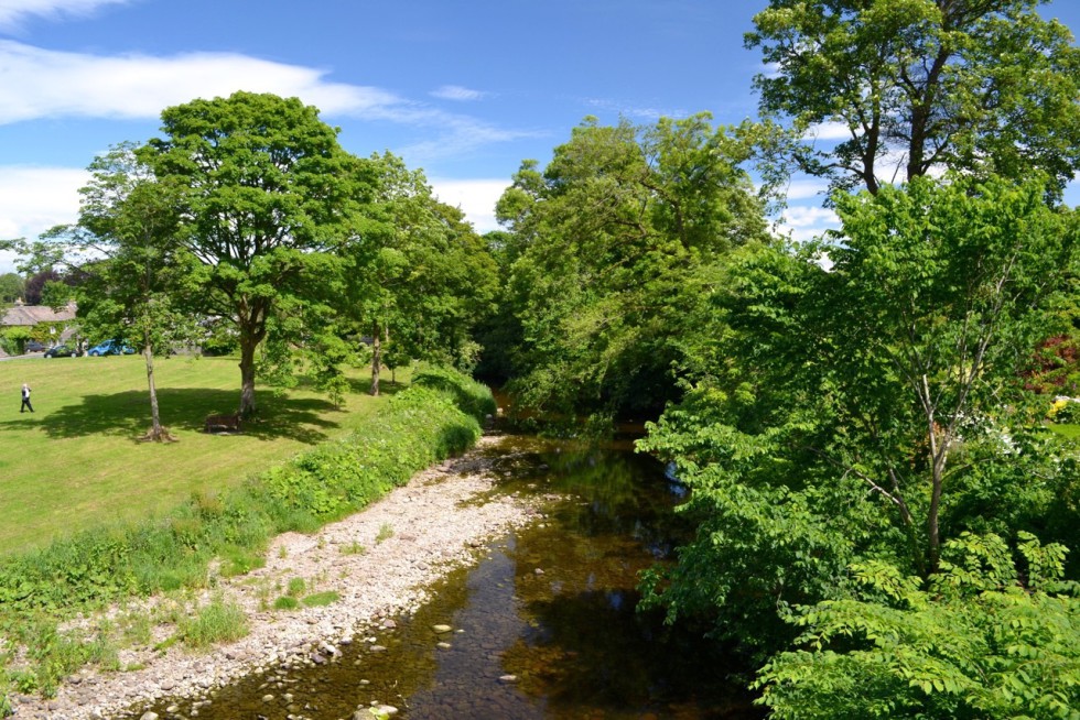
Gallery